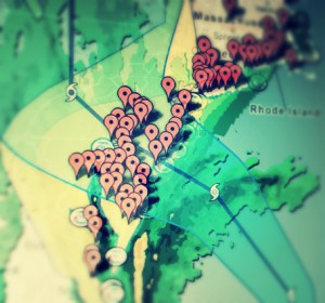
 Earlier this week, Google publicly launched a Google Crisis Map application that will provide information about bushfires throughout five Australian territories and states. The goal for the project is to provide easy to access, reliable information about the location of fires, their severity, their size, and listings of various warnings in the area. The application would also provide alert messages to users. Bushfire management is said to be one of Australia’s most important environmental challenges and affects the lives of thousands of people on a regular basis.
Google’s Crisis Map will provide other data to users as well. They will be able to have access to information about how they can stay safe in areas where a fire is a prominent threat, as well as information reflecting whether or not fires in the area are under control. The application will additionally provide any details about regional emergency response agencies that are responding to fires in the area as well. This can help to prevent a possible overload of individuals calling to report the same fire repeatedly since they will now be able to have access to determining whether or not a fire is being acknowledged and help is on the way.
The Crisis Map can be accessed from any device that is connected to the internet, allowing for people to check for updates from their tablet, smartphone, or any other device capable of accessing the internet. Google already has announced that they have plans to extend and improve the application over time, so it will include information about road closures, traffic conditions, and many other related circumstances. As time continues, it will be able to identify tropical storms, floods, cyclones, landslides, and many other natural threats on a global scale, providing people with a platform to protect themselves and their loved ones in even the most unexpected circumstances.


Recent Comments